— The Process —
Trail to print.
Five threads of the same craft.
— Hiking —
Trails I've walked, weather I've walked through, places I've come back to.
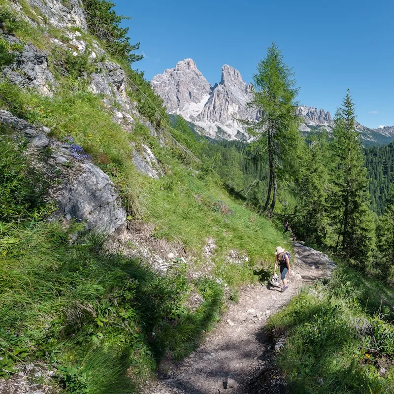
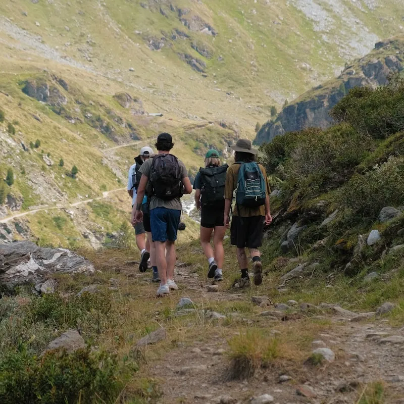
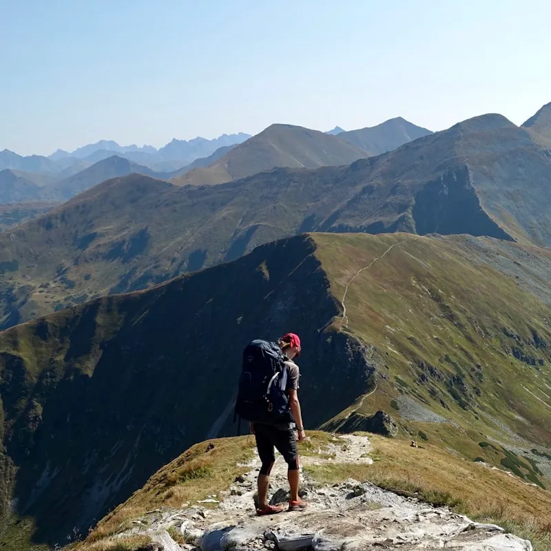
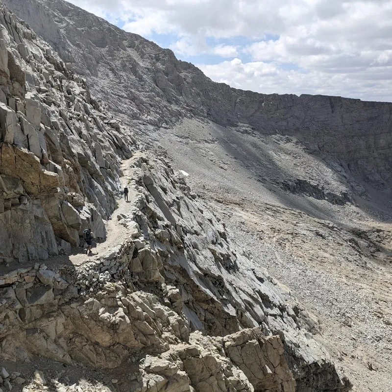
Placeholder imagery · final photos coming
— 3D Printing —
The Bambu Labs in the workshop. Raw prints, mid-print, finished pieces.
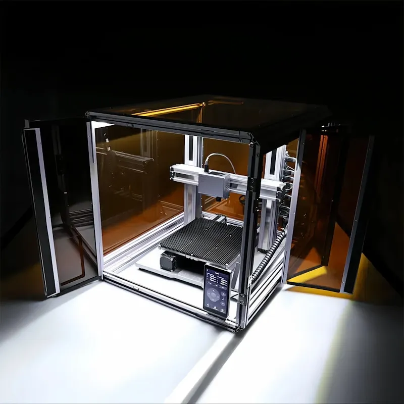
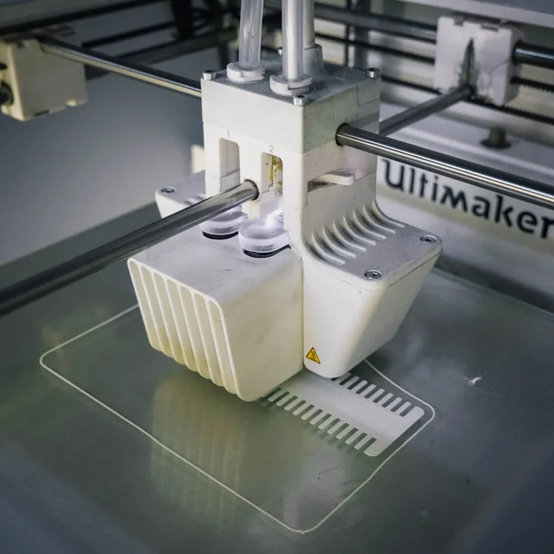
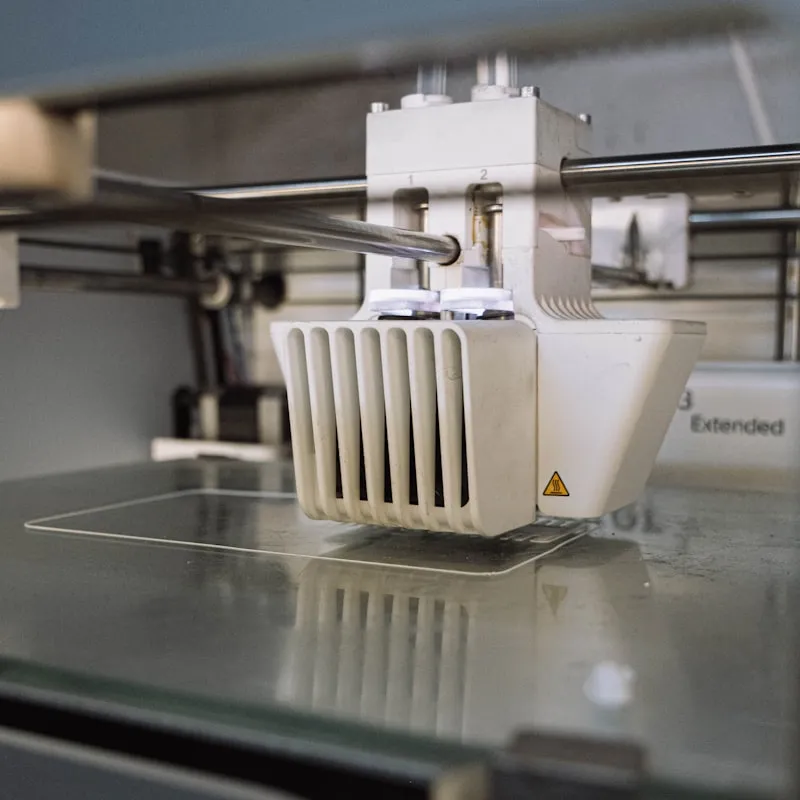
Placeholder imagery · final photos coming
— Airbrushing —
The step that makes each map personal. Color mixing, first passes, final coats.
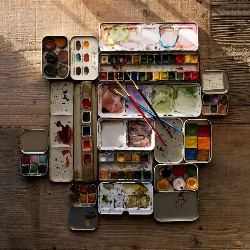
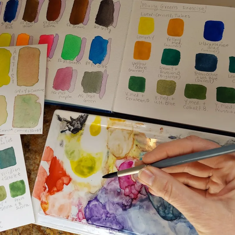
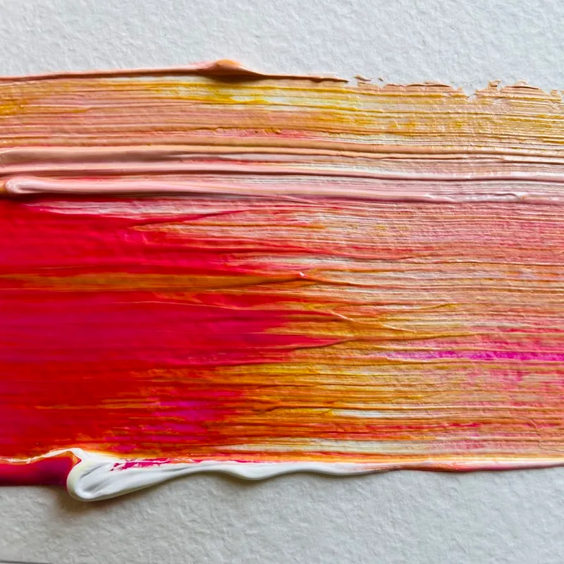
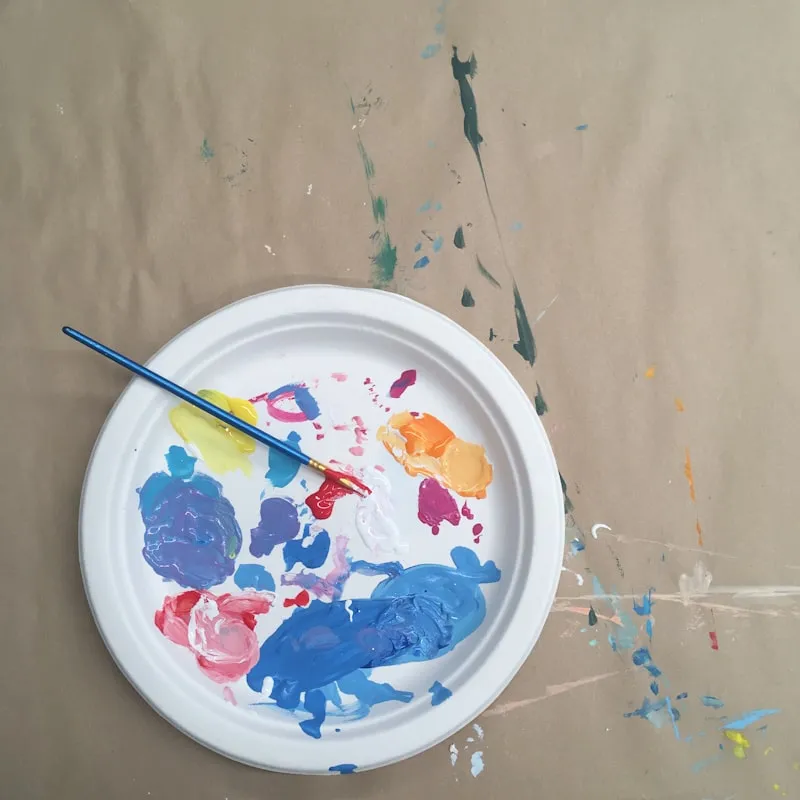
Placeholder imagery · final photos coming
— Photography —
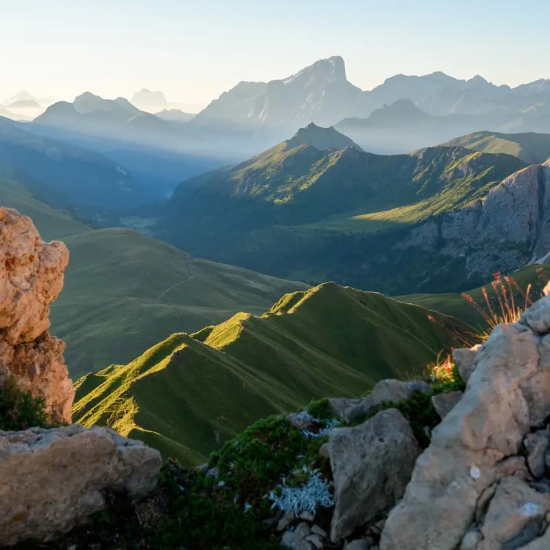
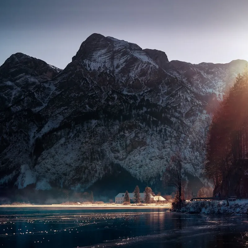
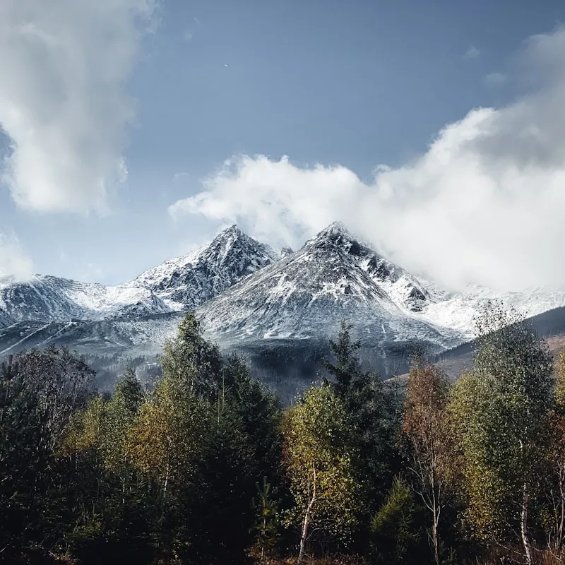
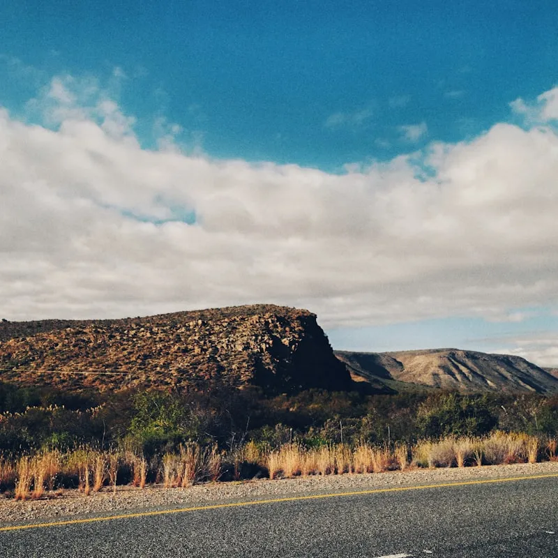
Stills from the trail. Light, weather, distance.
Placeholder imagery · final photos coming
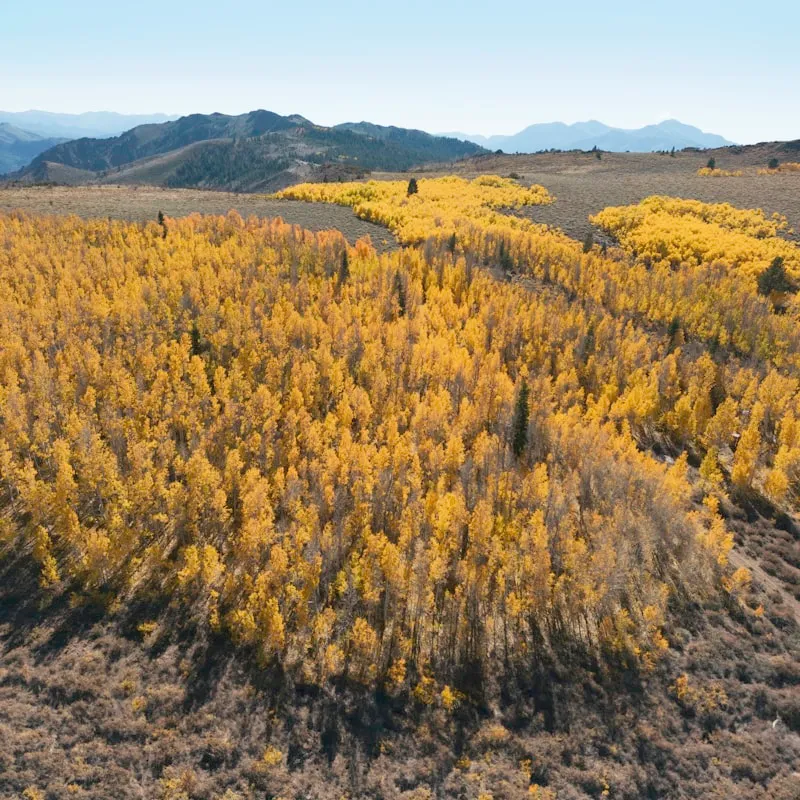
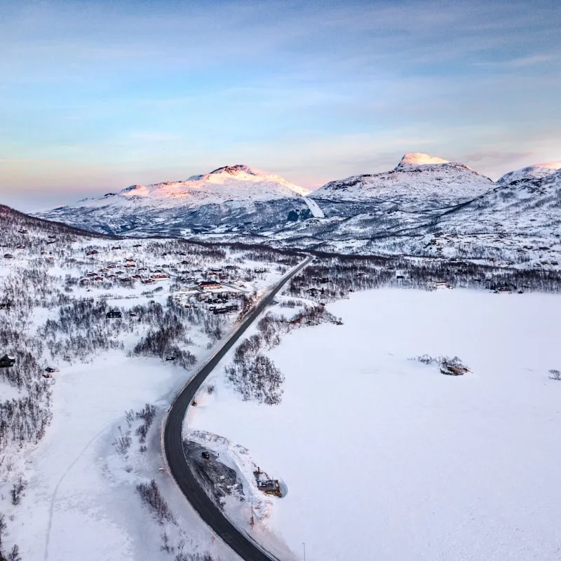
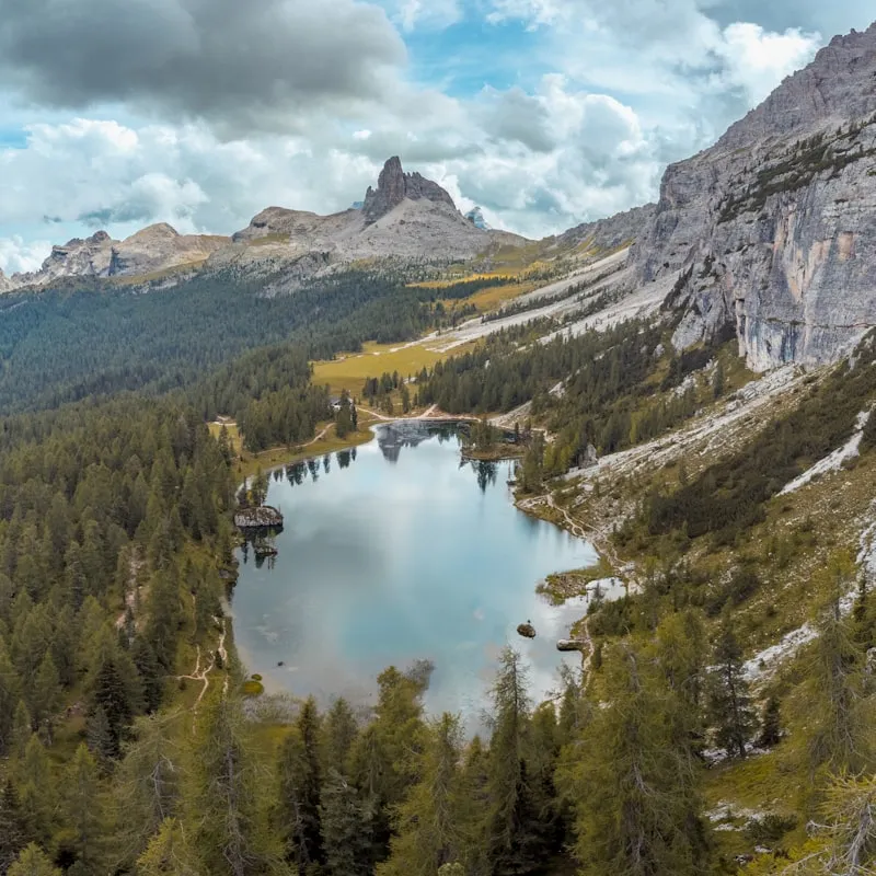
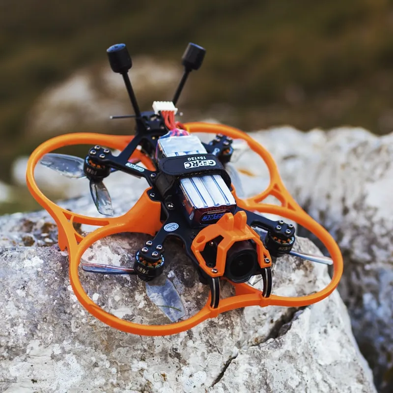
— Drone Flights —
Aerial perspective. How a trail looks from above before it becomes a map.
Placeholder imagery · final photos coming